CF33 - Palas del Rei - Arzúa - 28,6 km
Itinerary
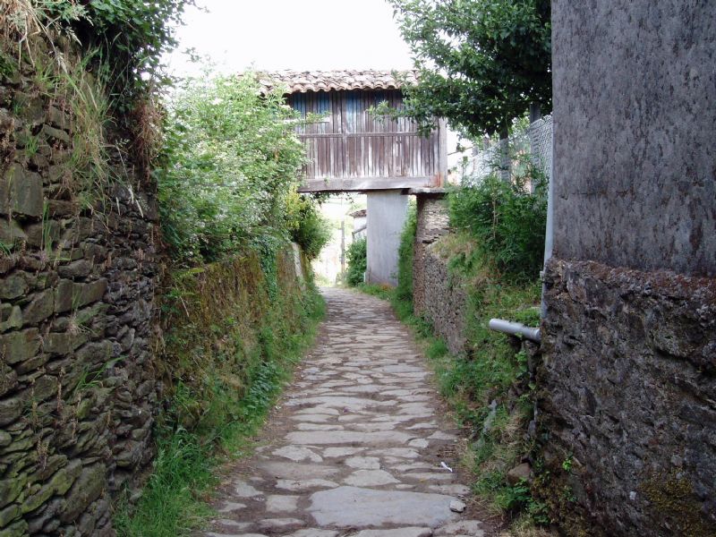
You will leave Palas de Rei by the N-547, turning to the left at Km 36. Following a paved path, you will descend to San Culián do Camiño, 3 km away from Palas. From here, you will keep walking on a paved road to the houses of Pallota, taking a path on the right and going down a vegetal corridor leading to Outeiro da Ponte.
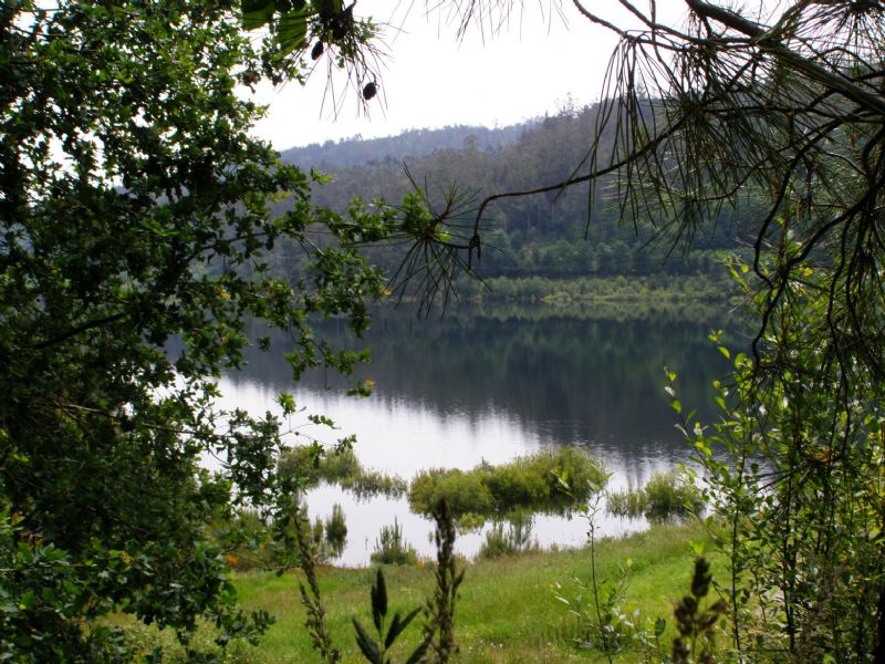
After this, you will cross the River Pambre and leave behind the village of Pontecampaña to initiate a light ascent surrounded by pine trees and oaks, that leads to small hill passed Casanova. Then, you will go down to the River Villar valley and, before crossing it, you will go through a huge meadow. 1 km after, you will arrive at Campanilla, where you will get to the road, passing from the Lugo province to A Coruña.
Later on, you will have to take a stone path surrounded by cypresses that leads to Leboreiro. Keep walking to Disicabo, where you can cross the Magdalena bridge over the River Seco and take the path fringed by a black poplars line, which, after going through a small but dense forest, leads to Furelos.
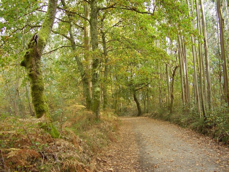
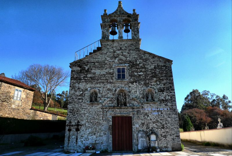
Leaving this village, you will keep following the path and after 1 km walking, you will arrive at Melide. In this village, the way turns left on the N-547, towards Santa María borough, and after crossing the River Lázaro and Carballal, the way goes on a dense forest full of oaks and eucalyptus to Raido; then, you will get to the N-547 and take a path on the left.
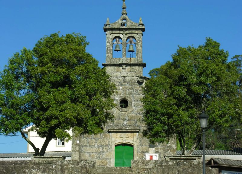
This path, surrounded by pine trees and ferns, crosses Valverde stream and descends by A Peroxa to Boente. Leaving Boente, you will need to cross a tunnel under the N-547 and keep going down to the River Boente valley. After crossing the river, you will go up the N-457 abandoned path, leading to Castañeda.
From this village, the Way turns left, via Pedrido, and goes down to Río, on the bank of the Ribeiral stream bank. After this, you will go up again, from the other side of the stream, to a hill covered by eucalyptus trees. Once you get here, you will see the path is cut by the road, and you will have to keep going through a walkway. Now you will quickly descend to the River Iso and passing by Ribadiso de Baixo and de Riba, you will go through a tunnel to avoid the N-547 and will get to Ribadiso da Carretera. When leaving this village, you will take the N-547, soon arriving at Arzúa.
External info sources about this route and recommended websites:
Federación Española de Asociaciones del Camino de Santiago
Very useful guide: Camino de Santiago. National Geographic
If you want to download any route in PDF format, you need to be registered. This is a very easy and free of charge process, and you will also enjoy other advantages.
To download a route in PDF format you must be registered , this is a simple and free process also enjoy other benefits.