CF31 - Sarria - Portomarín - 22 km
Itinerary
Coming down from the Convent of the Magdalena, being Sarria Cemetery on the right, you will get to the C-546 (Monforte-Lugo), continuing on the right some metres, then you will have to leave the road turning to the left and crossing the Ponte Aspera over the River Celeiro.
After this, you will be following the river until you have to cross the railroad, close to Sancti Michaelis site, then you will continue 100m more following the track to a stream. When you cross the stream, you will turn right to ascend to a village called Vilei.
Here you will enter a paved road that leads to Barbadelo Church. Keep walking through a track surrounded by oaks, meadows and labour houses, until you arrive at Rente and Mercado Da Serra.
After these villages, you will cross the C-535 (Sarria-Portomarín) and will keep going through Monzón, Xisto, Domiz, Leiman and Peruscallo during 2,5 km by paved road, surrounded by chestnuts trees and oks, and also lands enclosed with the typical “chantos” (slate slabs), one of the most characteristic elements in these places where the Celtic cultural heritage has prevailed.
From here and following the byways, you will go through the villages called Cortiñas, Lavandeira and Brea along 1,5 km, in a more rough landscape with scarce vegetation. Coming down from Monte Morgade half a km, you will arrive to the village with the same name, after which you will pass by Ferreiras Stream and will set forth on an easy ascent to the town of Ferreiros.
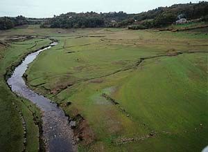
You will keep going up to a paved road, crossing it to descend to Mirallos and continuing to Pena; after this, you will keep walking to Couto and Rozas. Then, you will have to get to Pena do Cervo and go down to Moimentos, Mercadoiro and the River Bocelo meadow, where you will find Moutras.
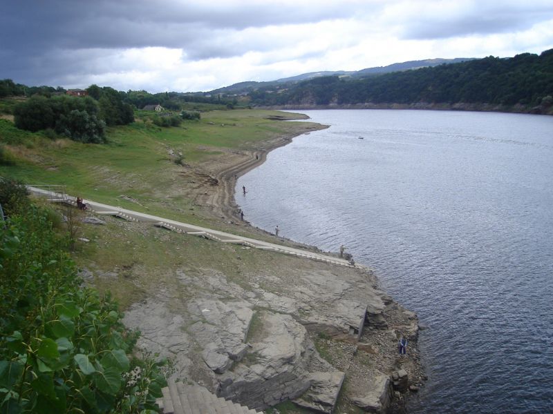
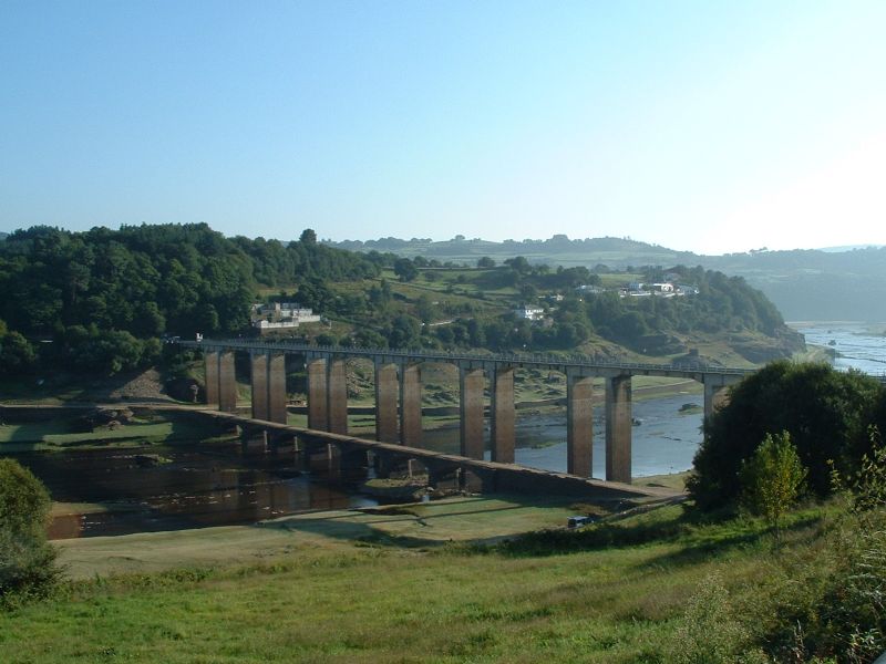
1 km away walking you will get to Parrocha. You will leave it on a paved road which, after 600 m, is substituted by a path that leads to Vilachá. You will be able to see Portomarín from here, located on the right bank of the River Miño and communicated with Sarria by the C-135 road.
External info sources about this route and recommended websites:
Federación Española de Asociaciones del Camino de Santiago
Very useful guide: Camino de Santiago. National Geographic
If you want to download any route in PDF format, you need to be registered. This is a very easy and free of charge process, and you will also enjoy other advantages.
To download a route in PDF format you must be registered , this is a simple and free process also enjoy other benefits.